Beach
Praia do Zavial
Vila do Bispo e Raposeira, Vila do Bispo, Faro, Portugal
350 length meters, 30 width meters (variable)

The beach is located in an area with protection status in the field of nature conservation, namely, in the National Network of Protected Areas: Parque Natural do Sudoeste Alentejano e Costa Vicentina and in the Natura 2000 Network: Southwest Coast (ZPE) and Southwest Coast (SIC ).
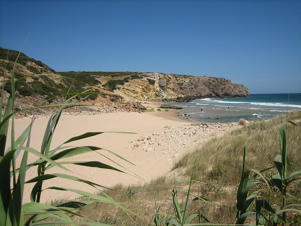
Golden sand beach, with wide sand and a small dune. The beach is located at the mouth of a temporary stream. The riverside vegetation and small pebbles reach the beach. On the dune, plants are observed as the reversal.
To the west, the beach is delimited by a huge natural rocky spur. The eastern part of the beach has very jagged cliffs and rock formations that are locally called furnas.
There was an important tuna fishery here, since the 16th century, protected by the Santo Inácio do Zavial Fort, built between 1630 and 1633. It was in these waters that, on August 18, 1759, the French warship sank Redoutable, consumed by fire during a naval battle with an English fleet, in the context of the Seven Years' War.
It has a tarmac road from the village of Raposeira (EN 125), following about 5 km towards Zavial or Ingrina.
Available Services
| CEE blue flag | |
| Lifeguarded Beach | |
| Showers | |
| Nudist | |
| Outdoor parking | |
| Restaurant | |
| Bar |
Unavailable Services:
| Accessible beach | |
| Sunshade rental | |
| Bathrooms | |
| Promenade | |
| Motorhome parking |
Activities
Surf
Bodyboard
See an error?
Tell us what mistakes you find we will do the corrections to keep this site with the quality of information we all want

